
Sweden has put 660,000 people inside a new map of exclusion.
A state method identifies 167 areas. The map can direct resources, but its labels also become power over places and residents.
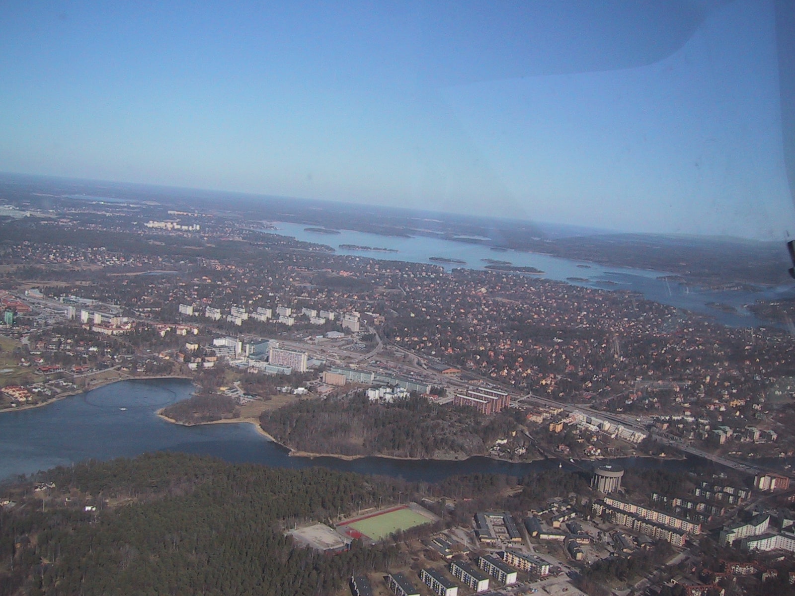
Boverket's new method identifies 167 Swedish areas with “major exclusion problems”. Sixty-six are placed in the most severe group, and about 660,000 people live across the full set.
The measure combines five social problems: weak labour-market attachment, weak school results, low civic participation, insecurity and cramped housing. It is designed to follow government policy and compare development over time. Between 2022 and 2024, the number of identified areas rose from 151 to 167; 132 appeared in all three years.
The concentration is real in the model. Nearly half the areas, and more than half their residents, are in greater Stockholm, Gothenburg and Malmö. Residents with a foreign background make up an average 77 percent of the population in the identified areas.
But a composite label is not a description of every person who lives inside its boundary. It cannot tell whether a particular resident is unemployed, unsafe, disengaged or overcrowded.
That distinction matters once a map starts guiding budgets, enforcement and political language. Used carefully, it can show where institutions have repeatedly failed to provide equal conditions. Used carelessly, it can turn an address into a verdict about its residents.
The public test is therefore not how many areas Sweden can name. It is whether the label produces measurable investment and opportunity without becoming another source of stigma.

DailySweden
DailySweden's desk of editors, reporters, researchers and investigative journalists. We bring readers factual, truthful and objective reporting on the issues that matter to them.
Contact the editorial desk ›